
Explore
The ocean, depth by depth.
The ocean is Earth's inner space, and it is where Aethon starts. The largest frontier for direct exploration is still on our own planet.
Why it is worth going.
Sunlight fades by about 200 m and is gone by 1,000 m. Everything below has to be lit, reached and recorded by something we send. Life, minerals, carbon and history are all down there, and most decisions about them rest on evidence nobody has collected yet.
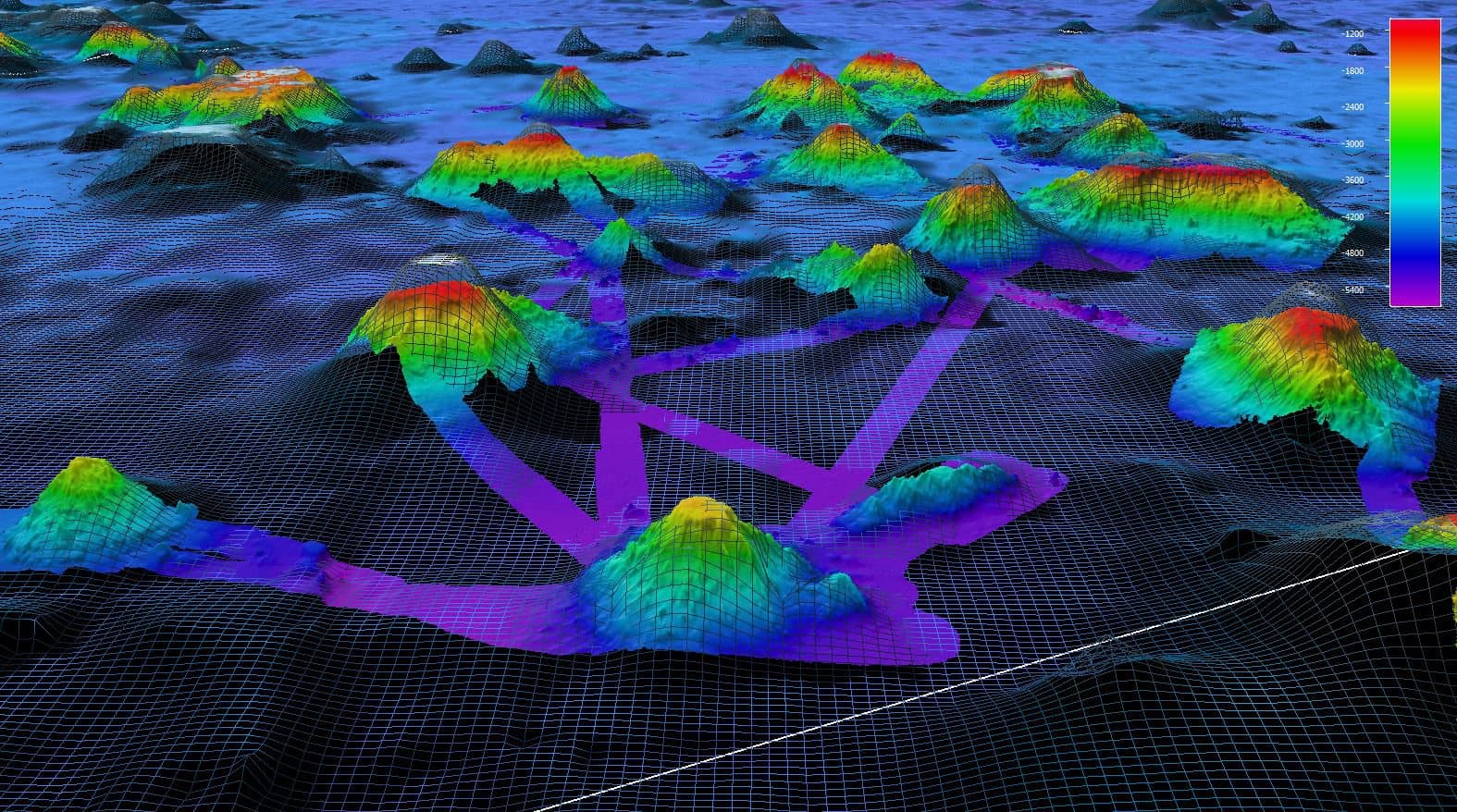
Predicted seafloor versus measured seafloor
Seamounts near Wake Island, NOAA Ship Okeanos Explorer
The wireframe is what satellites predicted; the colour is what sonar measured. Predicted summits can be off by hundreds of metres. Aethon Intelligence shows which is which.
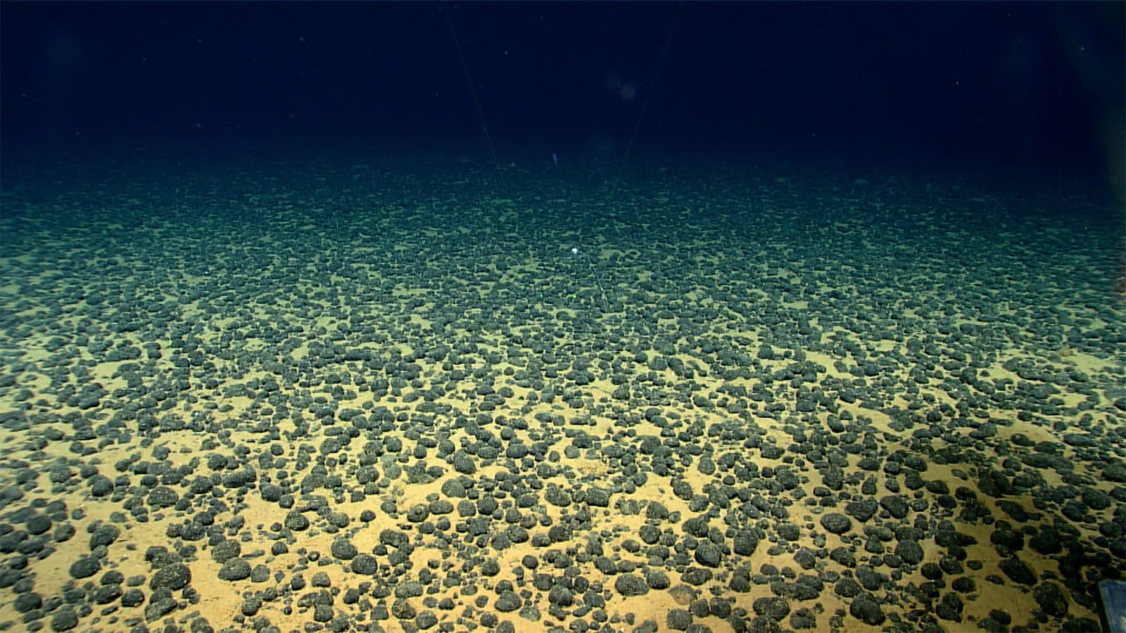
Polymetallic nodules
American Samoa expedition, about 5,140 m
Nickel, cobalt, copper and manganese, in habitat that is still poorly studied. Decisions about mining it need evidence that does not exist yet.
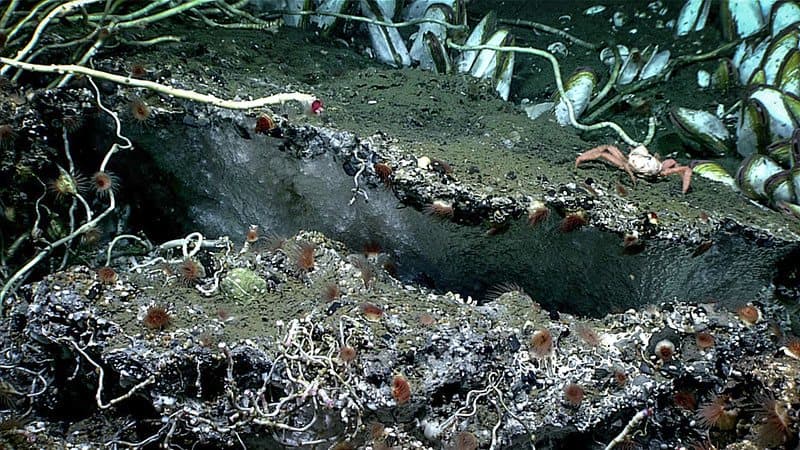
Methane hydrate under a carbonate ledge
Seascape Alaska 3 expedition, Dive 04
Methane locked in ice-like hydrate, and life that feeds on it. Seeps like this matter to energy and climate.
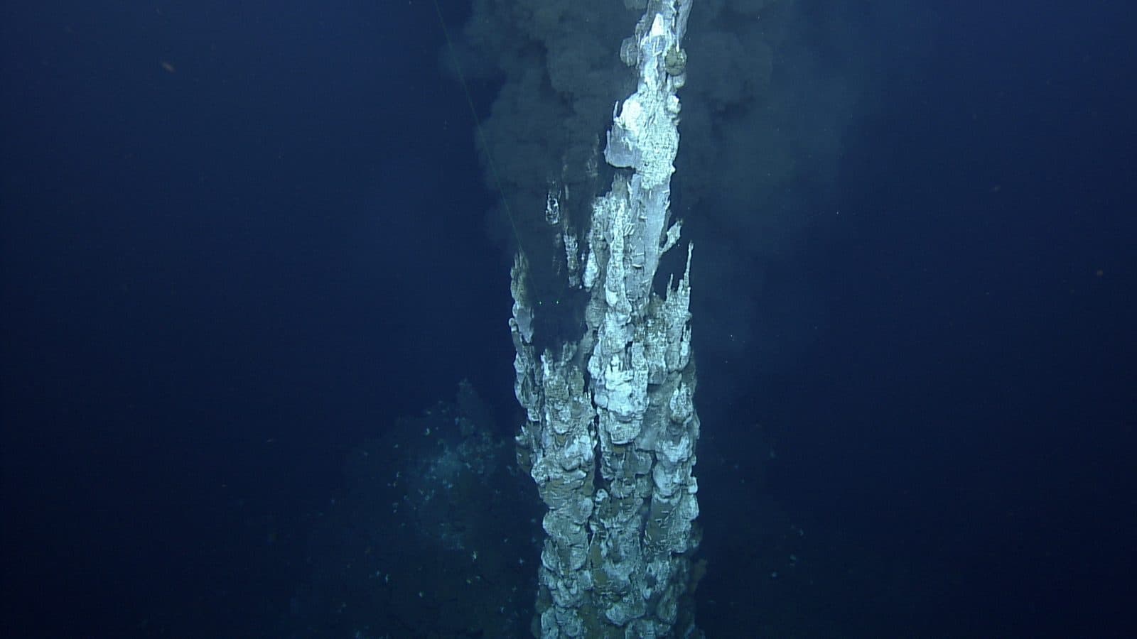
Hydrothermal vent chimney
Hafa Adai vent field
Ecosystems that run on chemistry instead of sunlight. Finding them changed what biology thought life needed.
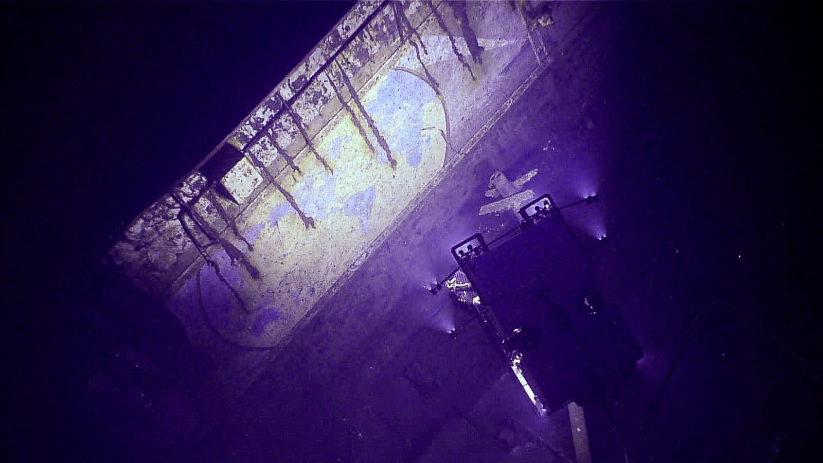
A mural on the USS Yorktown
Imaged by ROV Deep Discoverer, Papahānaumokuākea, 2025
Cold, dark depths can preserve wrecks, aircraft and cargo for decades.
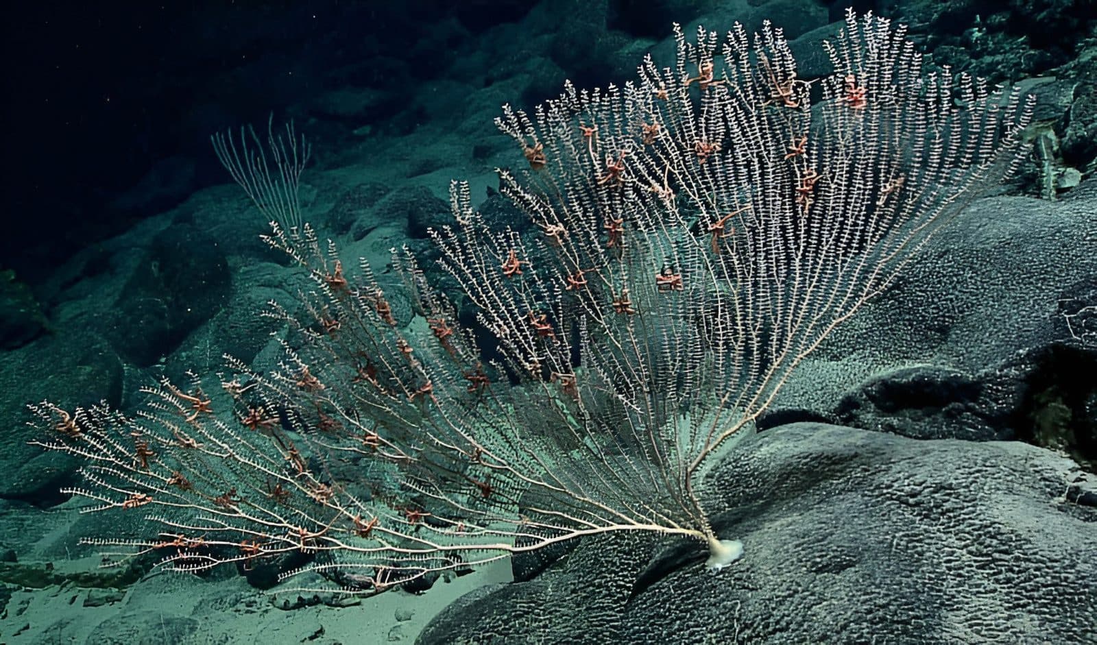
Coral colony with brittle stars
Callogorgia delta colonised by Ophiuroidea
About two-thirds of an estimated 700,000 to 1 million ocean species may still be undescribed (NOAA). Habitat like this can take centuries to grow and minutes to destroy.
Images: NOAA Ocean Exploration. Public domain.
And the things nobody has explained
Unidentified objects, sounds and signals are a real category in navy and research records. Most turn out to be ordinary once someone looks properly. Some are not explained yet. There is no photo here on purpose: a verified image of something unidentified cannot exist.
How we investigate anomaliesHow much we have actually looked at.
Each number is part of the one above it. The gap between the first and the last is why Aethon exists.
- Covered by global models100%
Mostly predicted from satellite data, which can miss features as large as seamounts. Not a direct survey.
- Surveyed to modern resolution28.7%
Multibeam sonar. Everything outside this is predicted or interpolated, not directly measured.
- Seen by anyone<0.001%
Of the deep seafloor. Roughly the area of Rhode Island.
What the work looks like.
None of this belongs to Aethon. It belongs to the institutions we plan to work with.
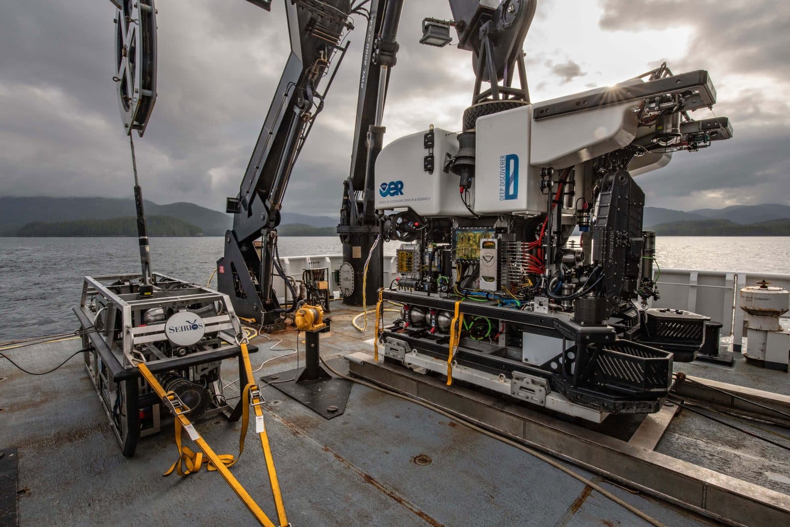
ROVs Deep Discoverer and Seirios
Operated as a two-body system from NOAA Ship Okeanos Explorer
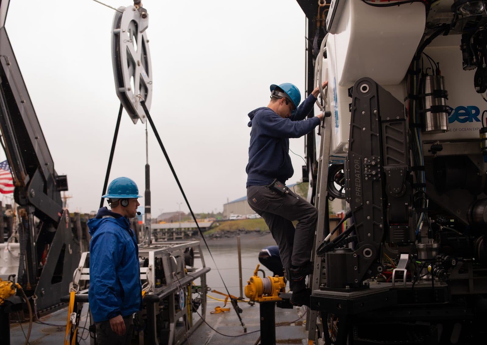
ROV maintenance on deck
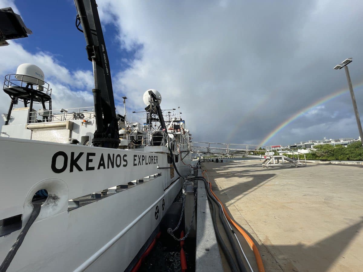
NOAA Ship Okeanos Explorer
In port, Honolulu
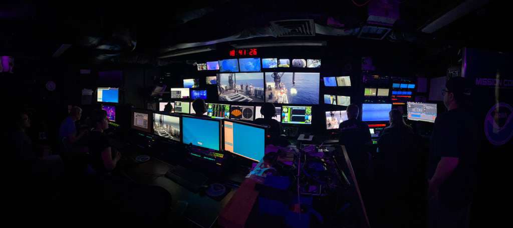
The control room, mid-dive
NOAA Ship Okeanos Explorer, 2026 ROV Shakedown
Images: NOAA Ocean Exploration. Public domain.
What Aethon does build is on the technology page.
How we work.
Partner first
Good vessels, vehicles and sensors already exist, run by people who know them. Aethon works with them before building anything.
Publish with provenance
Every observation says who recorded it, when and with what.
Credit stays with the observer
If someone else finds it, it is their discovery. Aethon helps people find it.
The adventure is right here.
We do not have to leave Earth to find the unknown. We barely know our own planet.